Lake Waitaki is an artificial lake at the eastern end of the Waitaki valley. This shot shows the power station of the dam that formed the lake. South Island, New Zealand.
A higher resolution version of this image is available here.
St Augustine's Church is an Anglican church in Waimate, New Zealand. The statute to the right is a memorial to the people from Waimate District who died in the Boer War.
A higher resolution version of this image is available here.
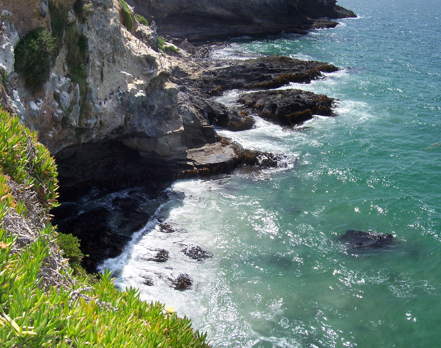
Nugget Point is a lookout in the Catlins region of the South Island of New Zealand. It is near the town of Balclutha and gets its name from the rocks in the water that resemble gold nuggets. It has a lighthouse and fur seals sun themselves on the beach.
A higher resolution version of this image is available here.
The Kawarau Gorge is a major river gorge in Central Otago, South Island, New Zealand. There are several adventure tourism activities based on the Kawarau River.
A higher resolution version of this image is available here.
Mount Cargill is a mountain over looking the city of Dunedin in the South Island of New Zealand. This view is looking north-east, with Otago Harbour to the right.
A higher resolution version of this image is available here.
Nugget Point is a lookout in the Catlins region of the South Island of New Zealand. It is near the town of Balclutha and gets its name from the rocks in the water that resemble gold nuggets. It has a lighthouse and fur seals sun themselves on the beach.
A higher resolution version of this image is available here.
Mount Cargill is a mountain over looking the city of Dunedin in the South Island of New Zealand. This view is looking south-west, with the city of Dunedin in the left of the panorama.
A higher resolution version of this image is available here.


